Le Guide du Lot et Garonne
Discover our other guides

- Home page
- Tourism
- Discover
- Hiking itineraries in Lot et Garonne
- Penne-d'Agenais
- Magnac, balade autour du Pech de la Citerne
- Penne-d'Agenais
- Hiking itineraries in Lot et Garonne
- Discover
- Tourism
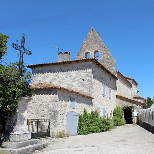
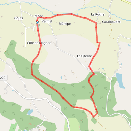
Magnac, balade autour du Pech de la Citerne
You will like also

Click here to activate the interactive map





You will also like
Penne-d'Agenais, vers le château de Noaillac
Penne-d'Agenais, vers le château de Noaillac
1,8 km - Penne-d'Agenais
Penne-d'Agenais, Auradou, dans les coteaux nord du Pays de Serres
Penne-d'Agenais, Auradou, dans les coteaux nord du Pays de Serres
1,8 km - Penne-d'Agenais

Penne-d'Agenais, sur le plateau Saint-Michel
Penne-d'Agenais, sur le plateau Saint-Michel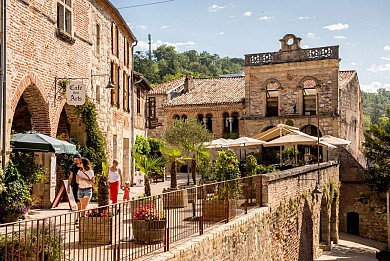
1,9 km - Penne-d'Agenais
Sur le plateau Saint-Michel - Penne-d'Agenais en écomobilité
Sur le plateau Saint-Michel - Penne-d'Agenais en écomobilité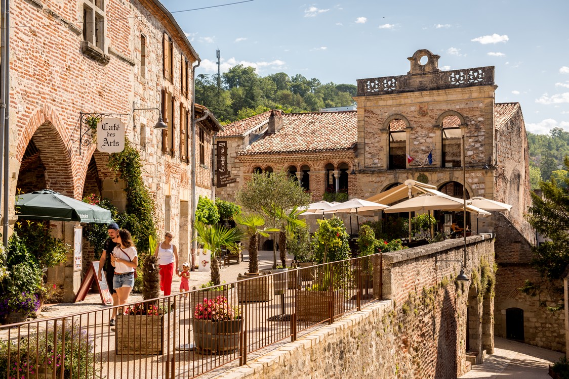
2,6 km - Penne-d'Agenais
We tested for you
What to do with children in Lot-et-Garonne?

1,8 km
Visit of the medieval village of Penne d'Agenais and its sanctuary

1,8 km
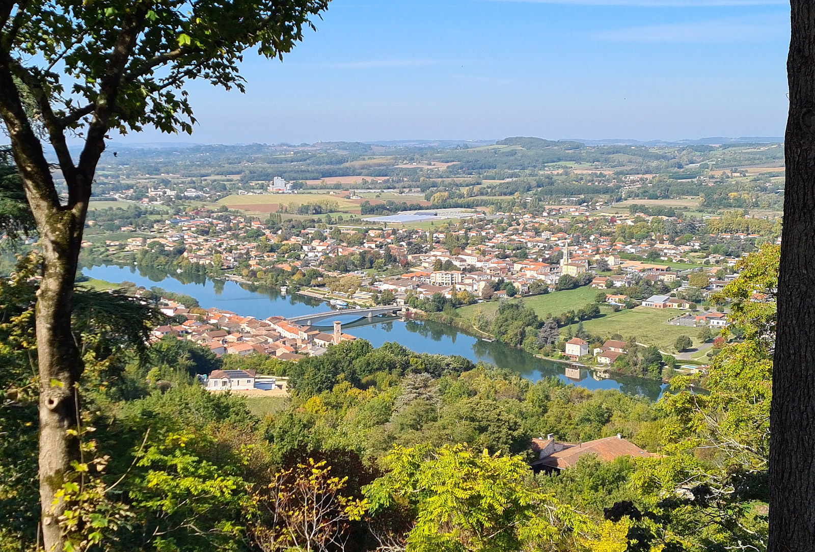
2 days in the Lot Valley: a weekend getaway!
1,8 km
Spend a magical day in an astonishing place in lot-et-garonne

3,3 km
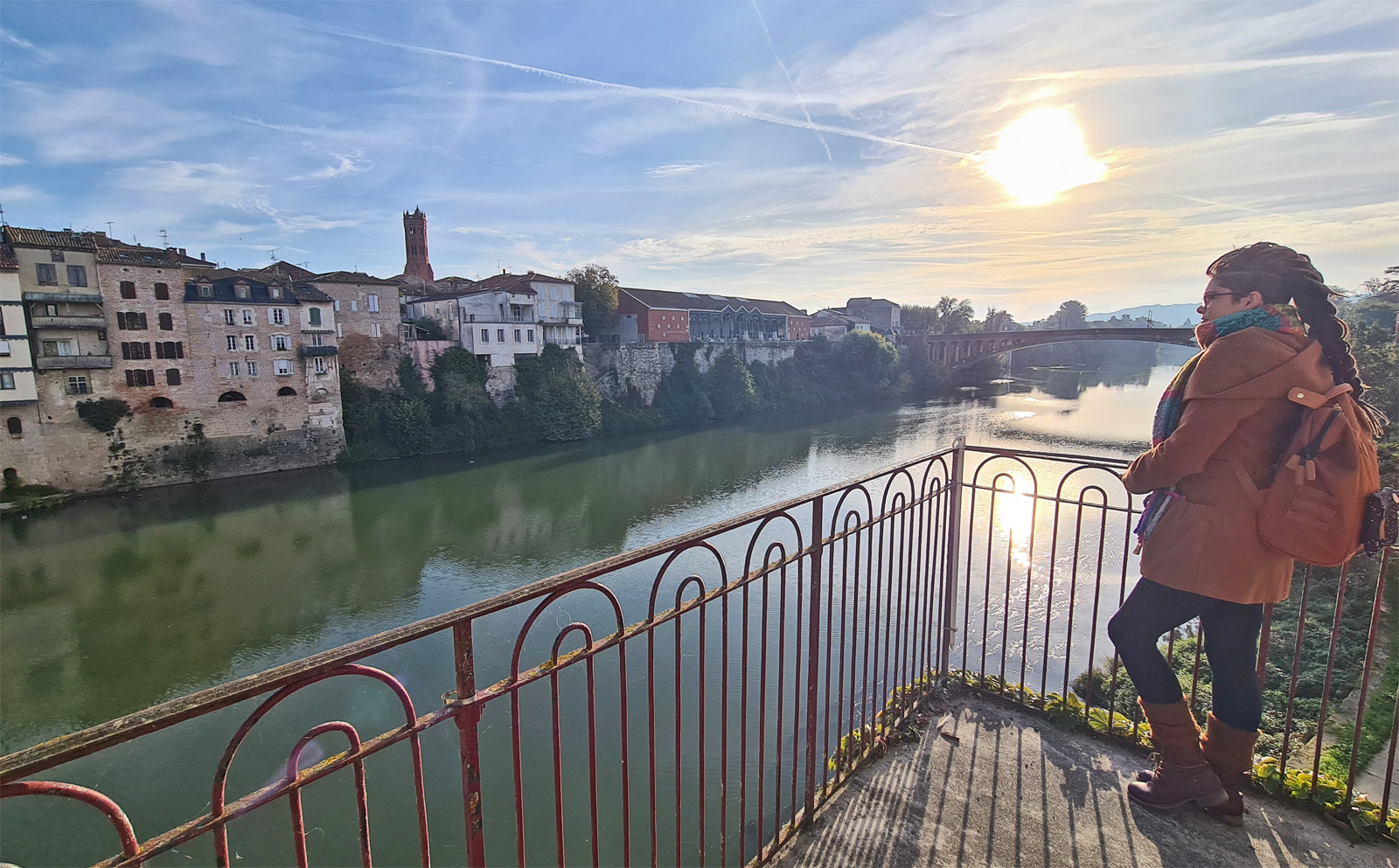
The visit of Villeneuve-sur-Lot
10,7 km
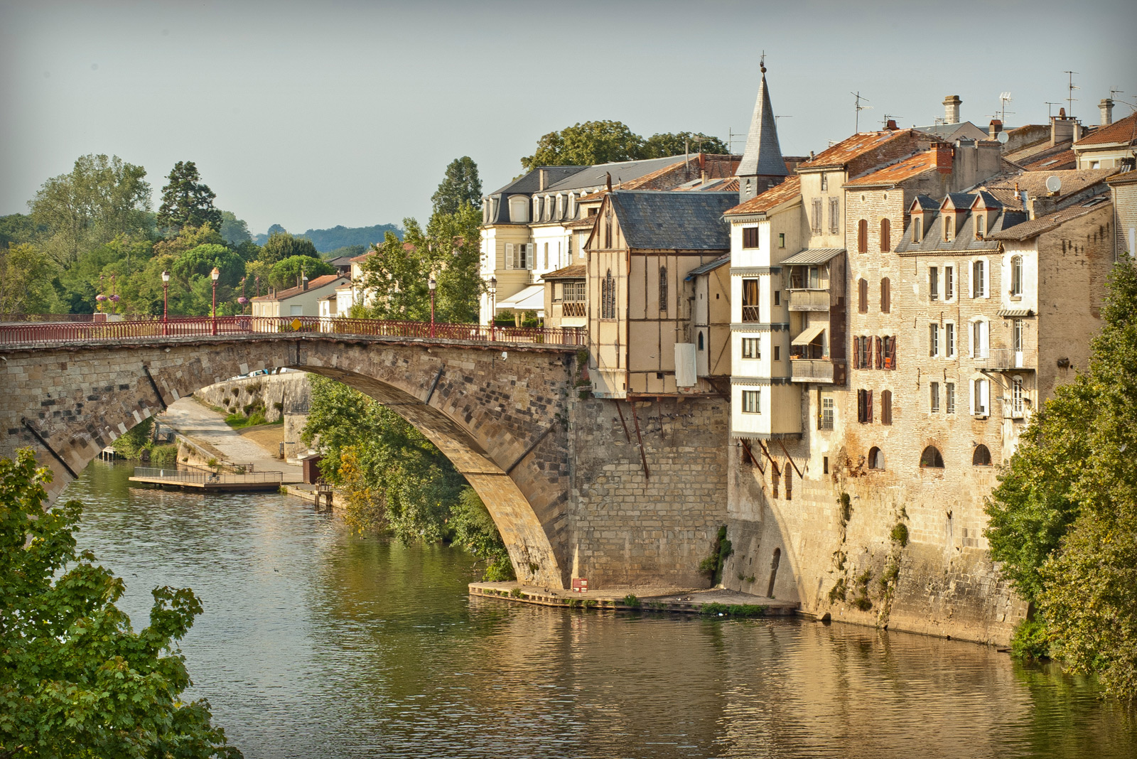
The coolest photo spots in Lot-et-Garonne
10,7 km
The Lot Valley in winter: original suggestions for discovering it!

10,7 km
Visit of the village of Pujols
11,6 km