Le Guide du Lot et Garonne
Discover our other guides

- Home page
- Tourism
- Discover
- Hiking itineraries in Lot et Garonne
- Saumont
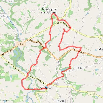
- Le Saumont vers Montagnac, par les Grand et Petit Auvignon
- Saumont
- Hiking itineraries in Lot et Garonne
- Discover
- Tourism
Le Saumont vers Montagnac, par les Grand et Petit Auvignon
You will like also

Click here to activate the interactive map
You will also like
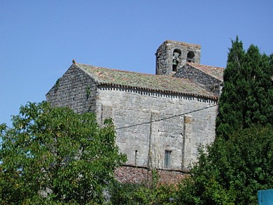
Le Nomdieu, à la découverte des cadrans solaires
Le Nomdieu, à la découverte des cadrans solaires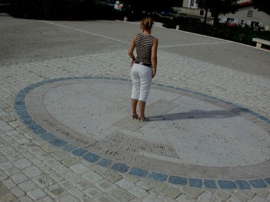
3,2 km - Nomdieu
Le Nomdieu, vers le point de vue de l'église de St-Lary
Le Nomdieu, vers le point de vue de l'église de St-Lary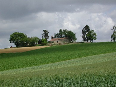
3,2 km - Nomdieu
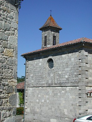
We tested for you
What to do when it’s cold in Lot-et-Garonne

9,6 km
Must-see attractions in Lot-et-Garonne

9,6 km
Nérac, royal sweetness on the banks of the Baïse

9,6 km
The beautiful walks of Lot-et-Garonne

9,6 km
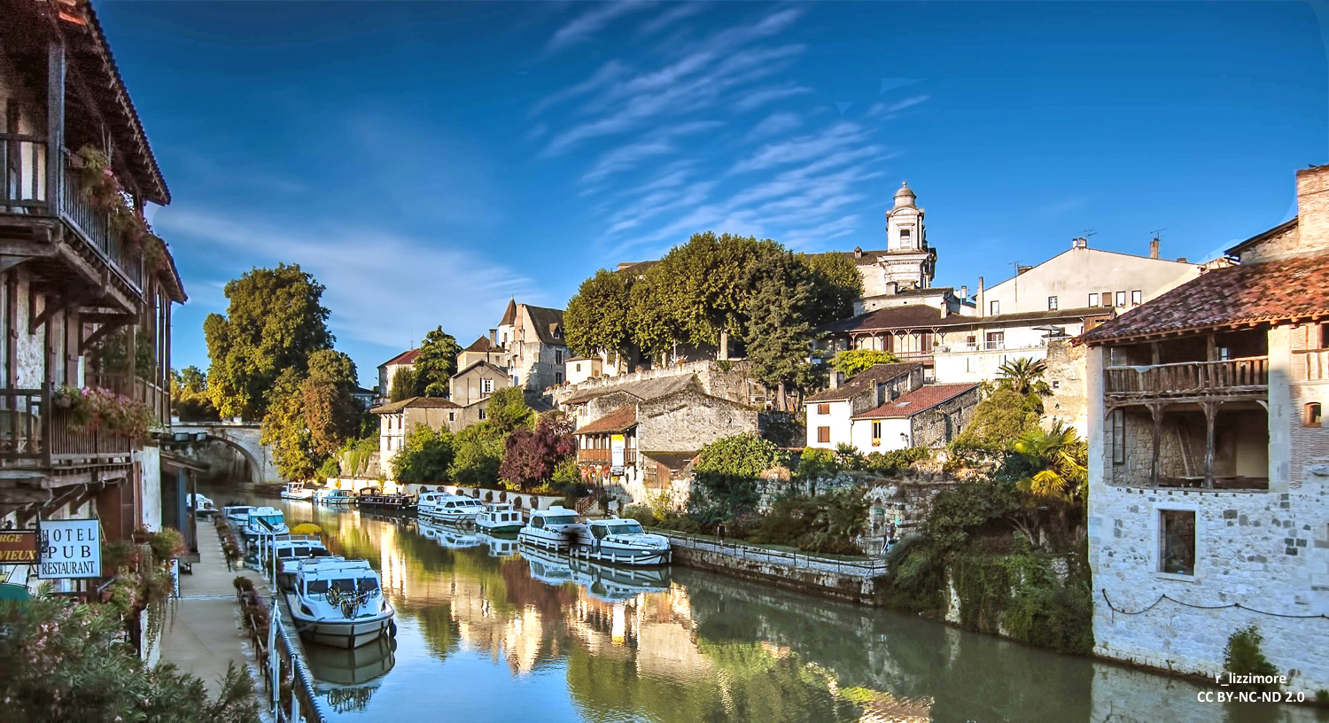
Take a boat trip in Lot-et-Garonne
9,6 km
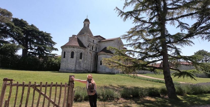
Let go to Moirax, and the educational nature park Trotte-Lapin
12,2 km
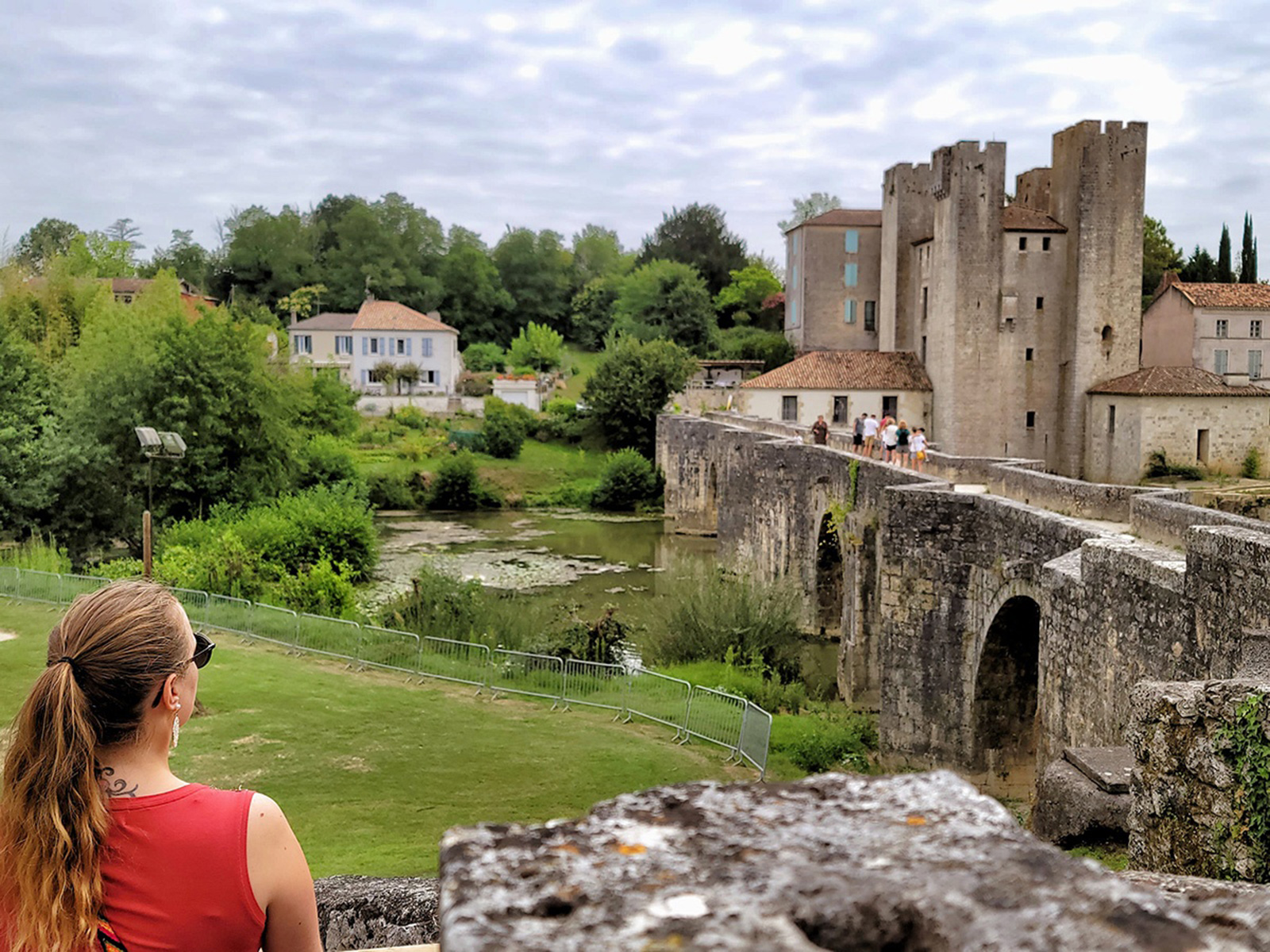
Visit of the Moulin des Tours de Barbaste
14,7 km
Four days in Lot-et-Garonne: The useful and detailed guide!
15,6 km